Yallourn Mine Decommissioning Hydrologic and Hydraulic Investigation
As part of a broader initiative to ensure the long-term safety and sustainability of a mining site, Alluvium has been engaged to contribute expertise in surface water and water balance modelling to inform landform design and rehabilitation strategies.
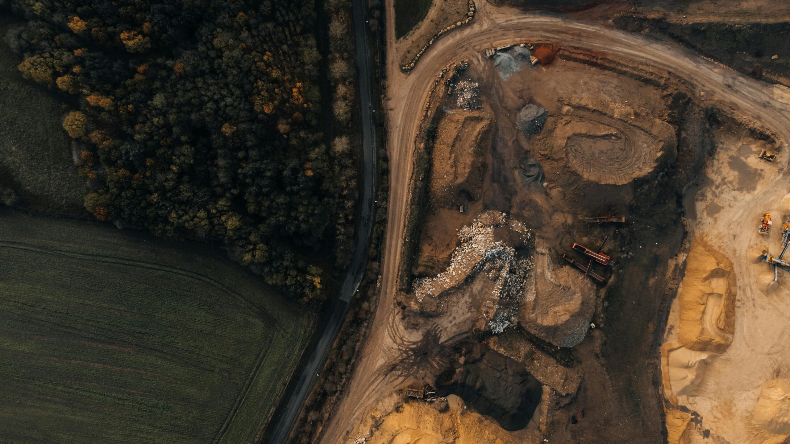
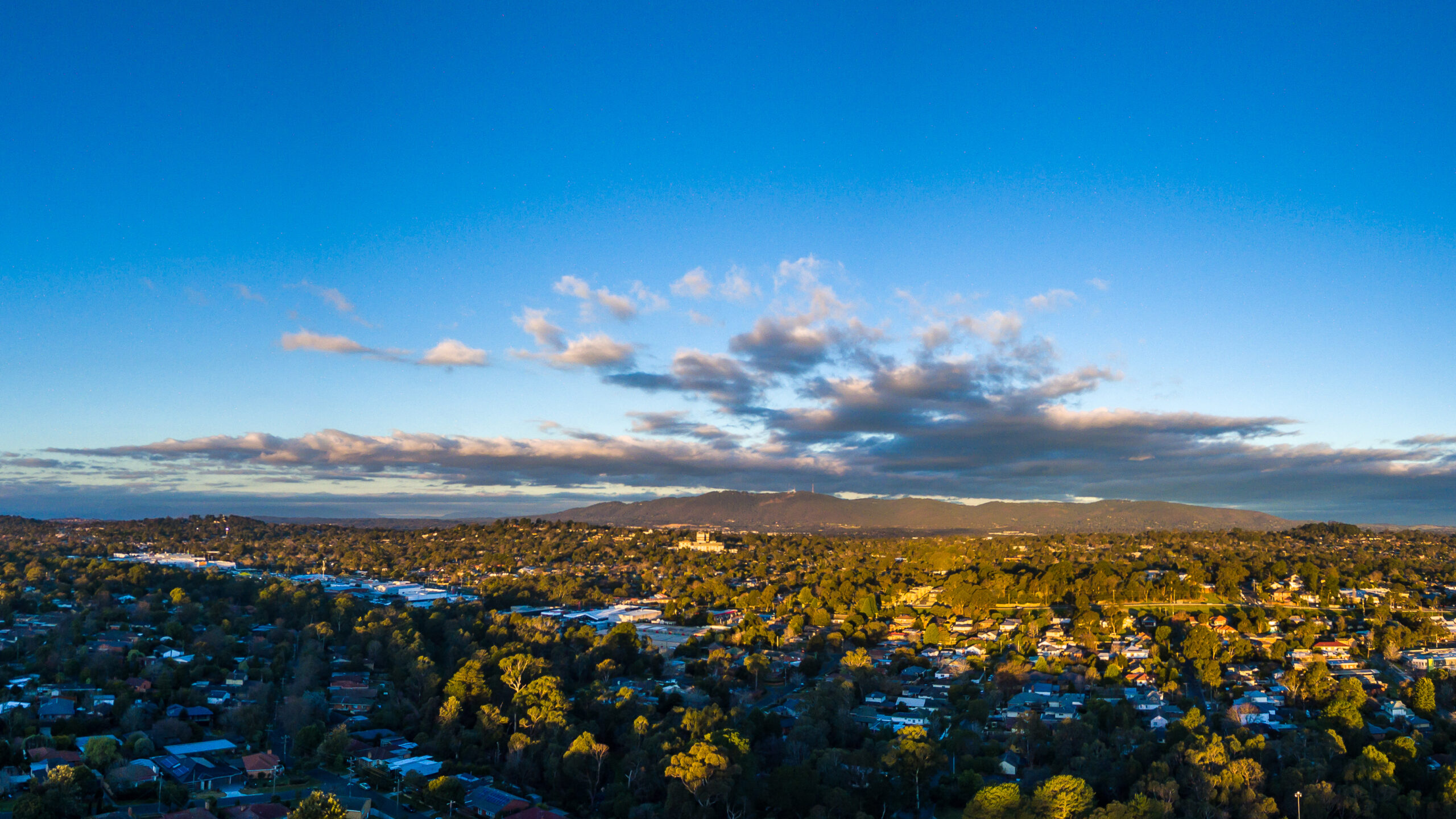
As part of the transition to post-mining land use, ensuring the long-term stability and sustainability of former mine sites is a critical challenge. At Energy Australia Yallourn (EAY), efforts are underway to develop a safe and sustainable land arrangement for the closure of Yalourn mine, addressing key environmental and engineering considerations. The Yallourn Mine is an open cut mine located in the Latrobe Valley, about 130 km southeast of Melbourne. It lies across the Morwell River, just upstream of its diverted junction with the Latrobe River. The proposed rehabilitation of the mine includes establishment of a pit lake and requires decisions on issues that impact on the both the site and the broader Latrobe River system. Management decisions impacting on the wider Latrobe River system include:
- the management of the Morwell River Diversion through the site, and
- the use of water resources to fill the mine void and maintain the pit lake.
Pells Sullivan Meynink (PSM) is supporting this initiative by assessing the geotechnical and hydrogeotechnical stability of the mine’s batters (slopes) to ensure long-term safety. To further enhance decision-making, Alluvium has been engaged to provide expertise in surface water and water balance modelling. These studies play a vital role in shaping landform design and rehabilitation strategies.
The project includes hydrology and hydraulic modelling for the Morwell and Latrobe River systems, helping to understand water movement and its impact on the landscape. The findings will be compiled into a detailed design report, guiding water balance assessments and supporting the development of resilient and sustainable post-mining landforms.